- Local time
- 12:19 AM
- User ID
- 4
- Joined
- Dec 3, 2015
- Messages
- 47,853
- Reaction score
- 310,369
- Location
- Banner Springs Tennessee
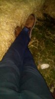
She was right beside me at the pool. then I cropped her head out
Butter Face ?


She was right beside me at the pool. then I cropped her head out
Butterface? Sup bish?
Lmao exactly.Great minds

Finished assembling anudder saw this evening test and tune tomorrow.
What flavor Steve
Brine time
View attachment 185237

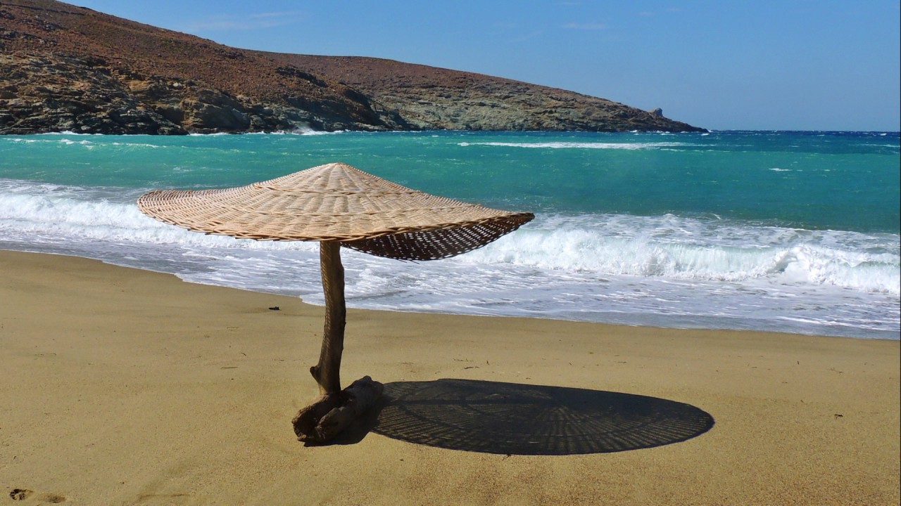

Morning Dan. Looks like a quite a trip....them Persians were mf'ers.So, we're talking about a beach camping trip later in the summer with the boat. This is the tentative map I'm thinking of and includes three Cyclades Islands Andros-Tinos-Mykonos.
The orange arrow is our house and the red line is the ferry boat route which takes about 15 minutes to cross (distance reference). With the 115HP Merc at full tilt about 5 minutes.
The orange line I drew shows the route to the port where we'd like to put the boat in. The red circle is an area famous for ship wrecks and has a lot of dolphins.
Fun fact: The north end of our island is opposite of the Hot Gates where Leonidas fought the Persians. Our island is a bottle necking point between it and the mainland.
The geography of this area was key in suppressing the invasion by the Persians as they couldn't pass the narrow straight quickly enough to enter Greece with a large force.
Eventually they circled the southern part of the island as a strategic move to gain access to the mainland. This area is very rich in history.
On to the camping...the black lines are some of our proposed stops. We can go as far as Mykonos and still be plenty safe with my little 5.1 meter boat.
Some stops will just be diving, snorkeling and fishing. Will probably make slow crossings between the island and troll some lures in the deeper water...might catch a Snapper or two.
View attachment 185240
That's alotta peppers.mornin. plantin 800 pepper plants shortly. a little late but the price was right. have a good one.